|
[ Back ] [ Home ] [ Up ] [ Next ]
|
*
* Click
pictures to enlarge; close out of that window to return to this page * *
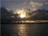
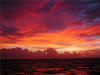 Sunset during 3-day passage to The Saints
 |
|
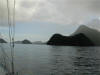
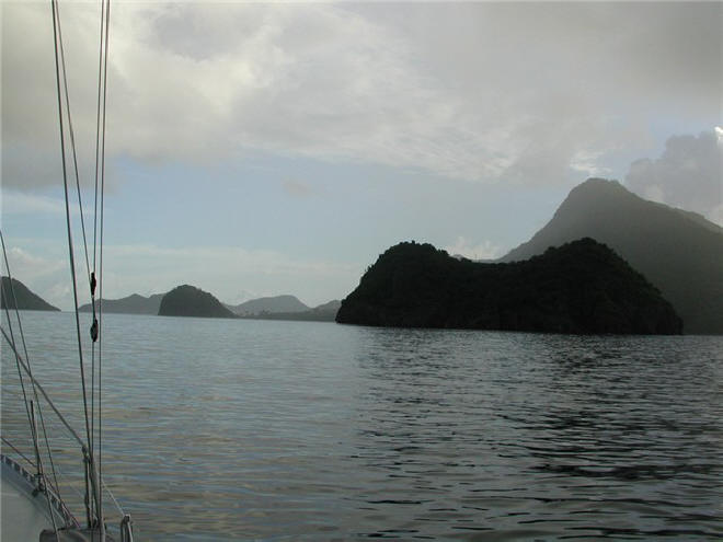
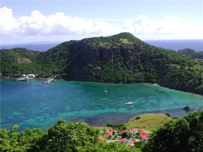
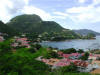
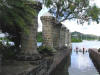
Approaching The Saints
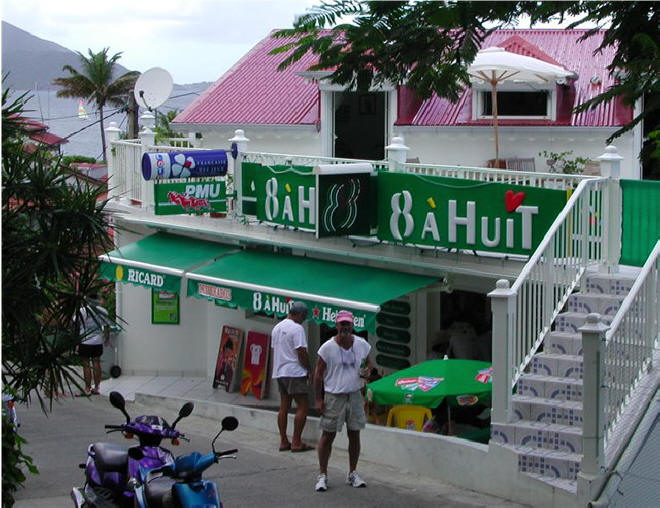
French convenience store chain. Now, Kent, this
would be a perfect place for a TimeWise!
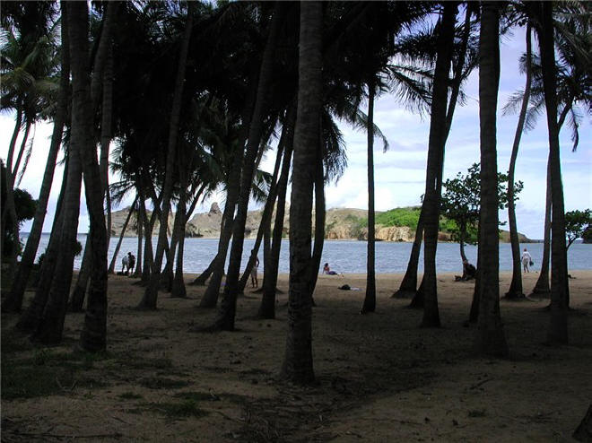
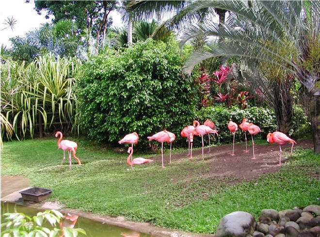
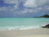
Beaches: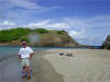 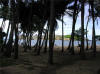 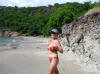 

ARGO |
This part of our travels takes us to places we have never
been to before when chartering, and we had really been looking forward to
visiting them. LES SAINTES (Guadeloupe, French)
- DECEMBER 6, 2003:
Bourg des Saintes ... |
... |
... |
Guadeloupe in backgrd |
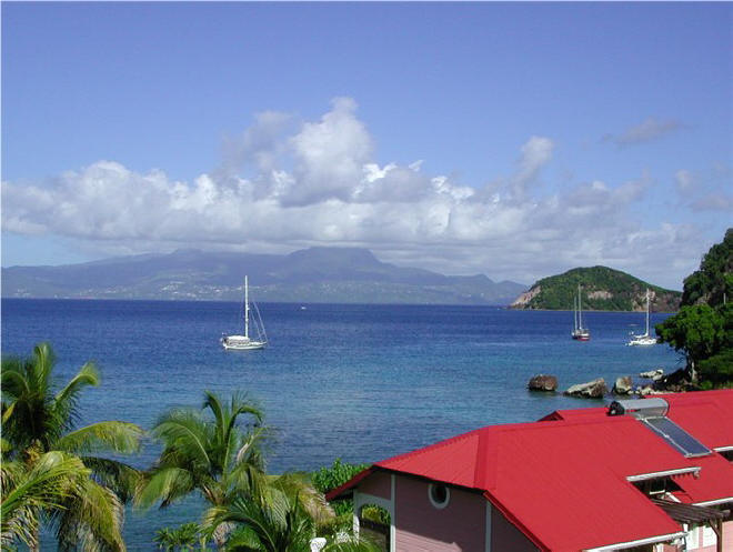
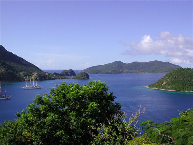
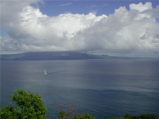
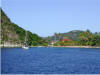
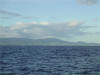
We left Margarita, Venezuela and did a 70-hour passage in
fairly good conditions, arriving in Iles des Saintes (The Saints) just as
the sun was rising over these picturesque islands. Perfect timing!
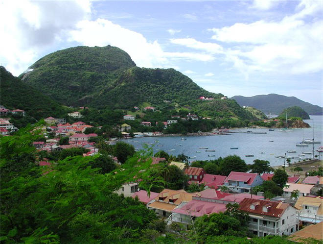
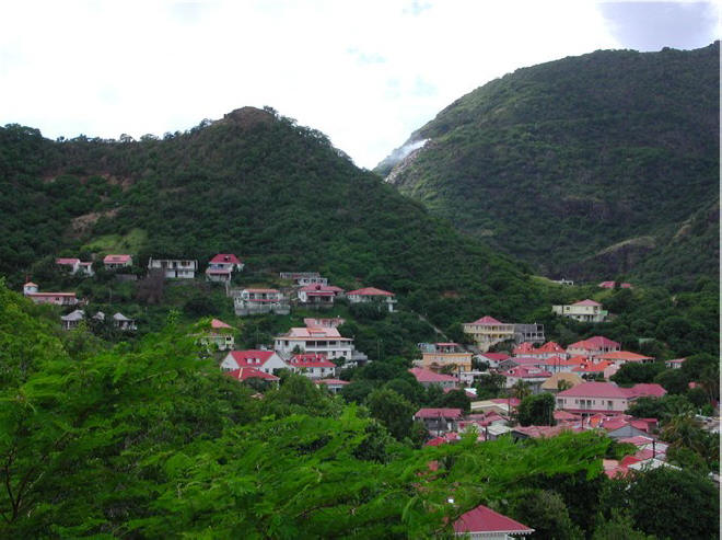
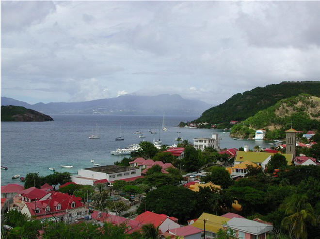
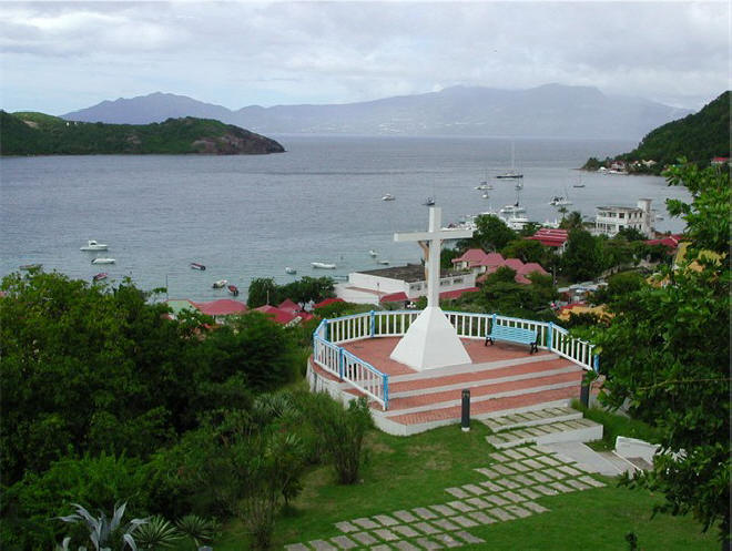
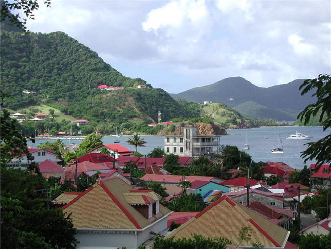
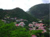
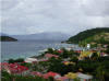
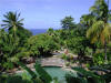
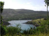
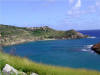
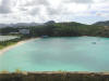
The Saints (part of Guadeloupe) are a group of small, dry, steep islands, with irresistible charm. There is only one small town,
Bourg des Saintes, that occasionally sees traffic from a cruise ship or
day charter. From here, we can see Guadeloupe close by. It was
nice to finally be able to buy French baguettes and brie again! We
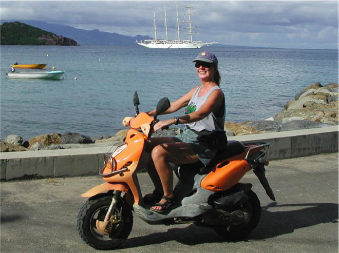
rented a scooter (everybody and everything here goes by scooter) and
islands, with irresistible charm. There is only one small town,
Bourg des Saintes, that occasionally sees traffic from a cruise ship or
day charter. From here, we can see Guadeloupe close by. It was
nice to finally be able to buy French baguettes and brie again! We
rented a scooter (everybody and everything here goes by scooter) and
 saw
the entire island (about 3 miles by 1 mile) in a day, sampling all the
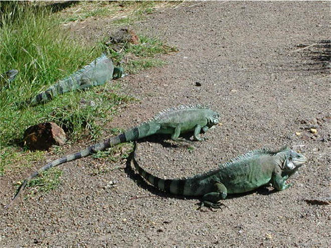
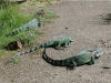
beautiful beaches. We explored Fort Napoleon which gave picture
postcard
panoramic views all around. This fort has been beautifully restored,
with well-tended gardens of labeled
cactuses,
succulents, and other native plants,
and fat
friendly iguanas checking out the tourists.
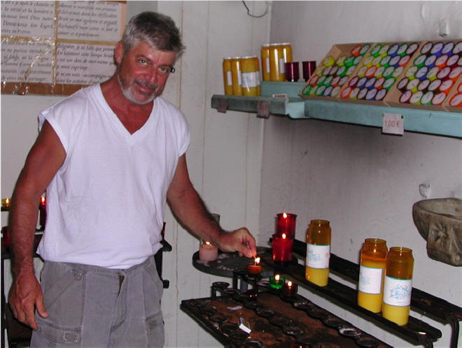
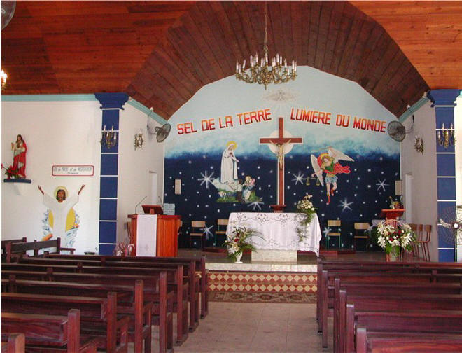
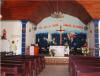
For his Mom's birthday, Steve
lit a votive candle at the Catholic Church
in town - that hopefully earned him some points! saw
the entire island (about 3 miles by 1 mile) in a day, sampling all the
beautiful beaches. We explored Fort Napoleon which gave picture
postcard
panoramic views all around. This fort has been beautifully restored,
with well-tended gardens of labeled
cactuses,
succulents, and other native plants,
and fat
friendly iguanas checking out the tourists.
For his Mom's birthday, Steve
lit a votive candle at the Catholic Church
in town - that hopefully earned him some points!
Being in a French country, of course, means a lot of
French flagged cruising and charter boats. The French are notorious
for anchoring right on top of you (presents safety and privacy issues) - they
think nothing of it - even when there's plenty of room elsewhere. We
have found this to be true pretty much everyplace we go. Fuss at them
and they'll anchor elsewhere. From our travels we have found the
typical French cruising boat to be frequently aluminum (unpainted), with
little or no dodger, bimini or awning, but with wind and solar power.
In general, the French cruiser tends to be trim and fit, and very tanned,
taking little precautions with the sun, such as no hat or sunglasses.
Easy to spot a Frenchman from close up or far away! Oh, did I mention
that they don't like to wear clothes aboard?
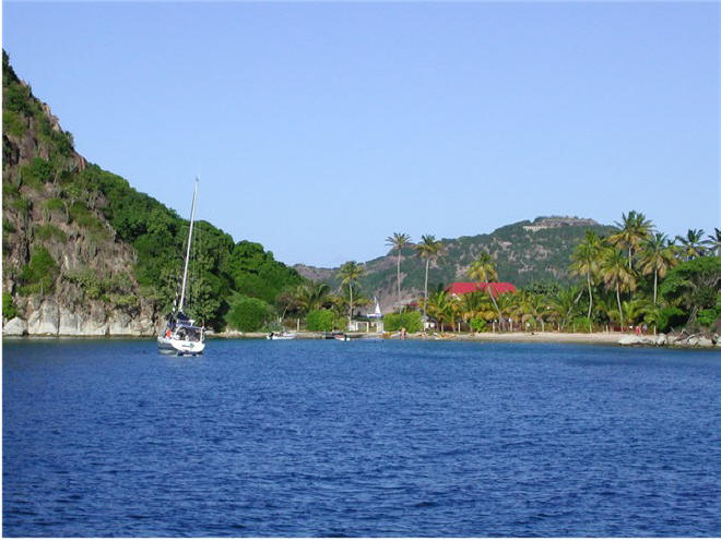
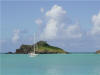
After a week in the Bourg des Saintes anchorage, we moved
to a small cove behind Pain de Sucre, with a perfect, sheltered
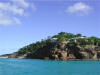
beach. We really enjoyed our peaceful and relaxing stay in The Saints,
and getting back to the French culture.

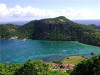
Pain de Sucre is the "piton" in middle ... |
... small beach ... |

... tucked away.
|
More pics:
|
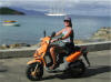
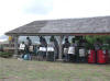
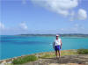
Scooter mama
Hiked to Baie de Marigot
Happy Birthday, Mom!

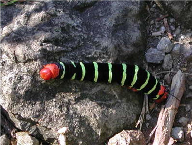
Stylish French caterpiller (la chenille du "sphinx
du frangipanier"
|
|
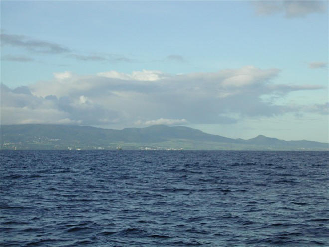
Sunset from Pointe-a-Pitre ship channel
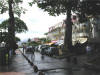
City scene - reminescent of New Orleans

Rain forest - fresh flowers found floating
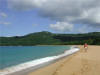
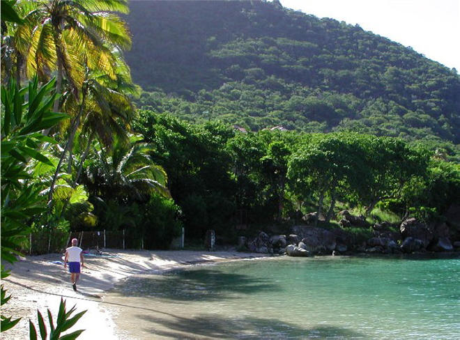
Grande Anse Beach - sweeping, steep & pristine
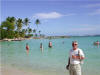
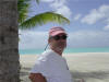
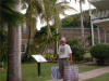
St. Anne Beach (baguette under
arm)
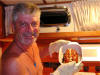
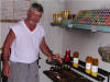
Gourmet meatloaf by Chef Steven
|
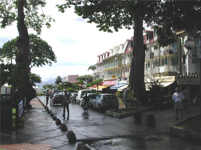
GUADELOUPE (French) - DECEMBER 19: A half-day
sail put us in Guadeloupe. Guadeloupe, the largest island in the
Leeward and Windward island chain, is shaped like a butterfly with a river
separating the two halves. The west "wing" which is larger and
mountainous is called Basse Terre (low land), and the east "wing" which is
smaller and flat is called Grande Terre (large land). Whoever named
them must have had a sense of humor - kind of like Iceland and Greenland.
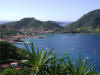
We arrived at Pointe-a-Pitre, Guadeloupe's largest
and most industrial city, located on the south side where the 2 wings join.
The marina area is separate from the city hustle and bustle, although both
were within dinghy distance from our anchorage. Unless you are in a
marina, the anchorages are just outside the ship channel - reminiscent of
Galveston/Houston ship channel with exciting vessel activity including
cruise ships. OK, not the loveliest of places, but it afforded us
other advantages. [You're probably loving it - "ha ha, they finally
found an anchorage that's not beautiful!".] The very nice marina area is filled with French
flagged boats (a whole lot of Amel's are based here), pricey shops and
restaurants (for looking only) although we did enjoy a decadent meal of
mussels steamed in white wine, blue cheese and scallions, and of course
French bread for sopping up all the rich sauce. The city area has it's
cruise ship tourist section, an open market (standard in all Caribbean
islands) selling fresh fruits and vegetables, and fresh fish and seafood
right from the little fishing boats. From ARGO we had prime seats for
several fireworks shows the week preceding Christmas - including one of the
best "choreographed" shows we've ever seen.
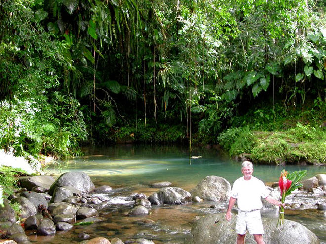
From here we rented a car (they drive on the right side)
for the day and toured the north part of the west "wing", which included
hiking in rain forests and waterfalls, quaint fishing
villages and coastal towns, panoramic views and a fabulous sweeping, and
steep, beach at Grande Anse. We visited a cocoa
plantation, gorgeous botanical gardens, the rhum (rum) museum, sampled at several rum distilleries, and enjoyed a great BBQ rib lunch.
We hope to return when heading south in a few months and at that time would
like to tour the east side.
After almost a week in Pointe-a-Pitre, we moved to St.
Anne, located on the south side of the east "wing". We had heard
where navigating this area is like playing Pac Man - there are fish traps
all over the place - the highest concentration we have seen so far.
Fish traps are usually 2 floats tied together by a heavy floating line,
which in turn is tied to big wood and wire cages that sit on the sea bottom
(many in over 100 ft. of water) trapping fish. A couple of problems.
If you run over one of these you risk fouling your prop (line gets wrapped
around the shaft and prop), or doing other damage, which means you lose your
ability to maneuver. A definite way to ruin the day ... if not more.
Another problem is seeing these darn floats. While many are white
(blends in nicely with white caps), red or yellow, others are clear plastic
soda bottles or, worse yet, dark green or black painted floats (are they
concerned about environmental esthetics!?). Anyway, we had no mishaps as we
kept a sharp lookout.
We spent Christmas in St. Anne, a beautiful anchorage
surrounded almost completely by reefs, with the cut through well marked.
(The French are excellent at providing and maintaining aids to navigation.)
There were only a couple of other boats there, but the beach area was
hopping with both locals and vacationers. Again, another beautiful
beach area, this one with five coves spread out around the point, each
heavily lined with palm trees and protected by reefs. Holiday shelling was
good!
We then returned to Pointe-a-Pitre preparing to transit
the Riviere Salee, which is the river that cuts through the middle of
Guadeloupe, as a way to short cut our trip north to Antigua by a day. This
narrow river is about 7 ft. deep at the shallowest (we draw 6'4") and has a
bridge at either end ... the trick is you're doing this in the dark.
The bridges only open once a day - 5:00 a.m.. So we're queued up at
4:45 with 3 other boats. The approach channels, river and bridges are
once again well marked (God bless the French for this) and the only hick-up
was waiting on each of the bridges to open, as there was not much room to
maneuver, and we got rained on at the second bridge. After exiting the
final bridge, there's then about 5 miles through the invisible reefs before
we're in open sea. By this time, the sun was starting to come up and
the aids to navigation were invaluable. We're on our way to Antigua
...
|

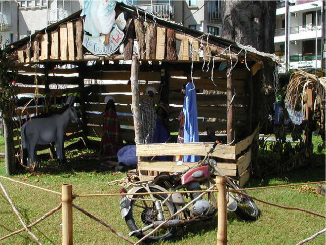
Unique manger scene
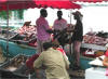
Fish market
Botanical Gardens


 Leaving Guadeloupe behind (west "wing", north side)
 |
|
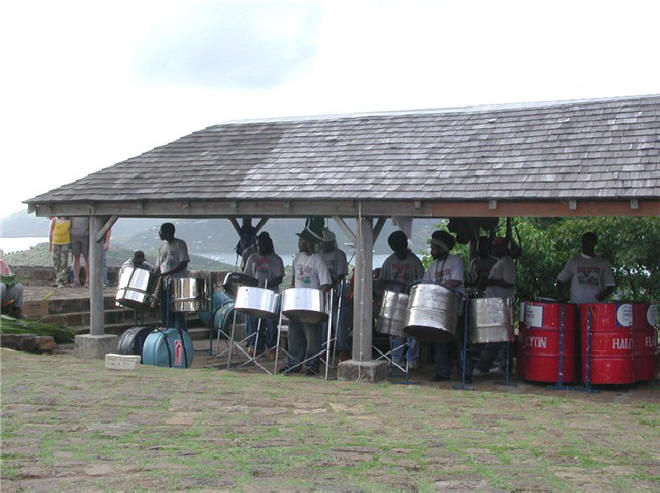
Shirley Heights Sunday BBQ, steel pan band
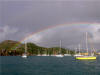
Full rainbow spans harbour
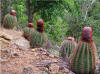
Family of Turk's Head cactus
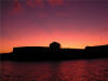
Sunset, Fort Berkeley from ARGO
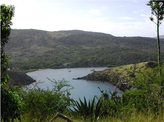
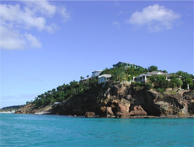
INDIAN CREEK
ARGO "landlocked"
Eric Clapton's mansion on point
Mangroves

East coast (Mamora & Willoughby Bays)
Cute kidds abound |
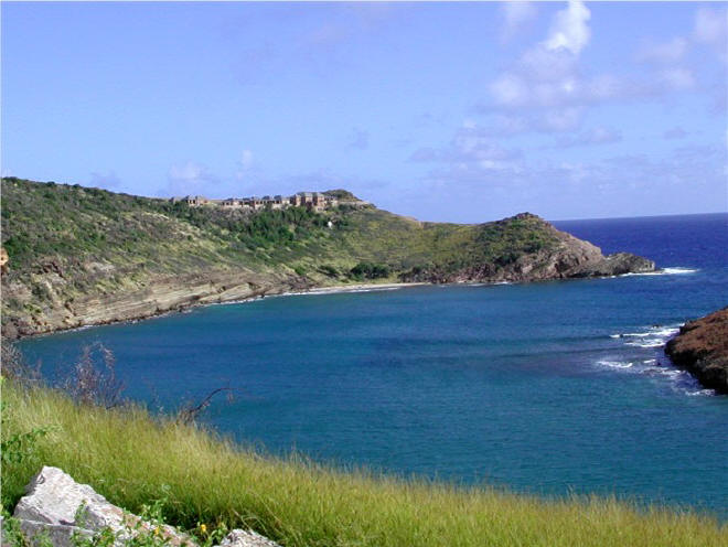
English Harbour entrance |
English Harbour closeup |
English foreground, Falmouth background |
Fort Berkeley |
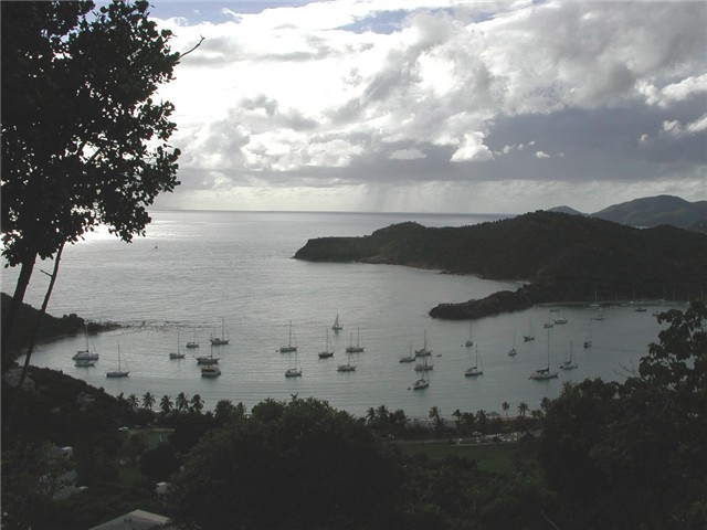
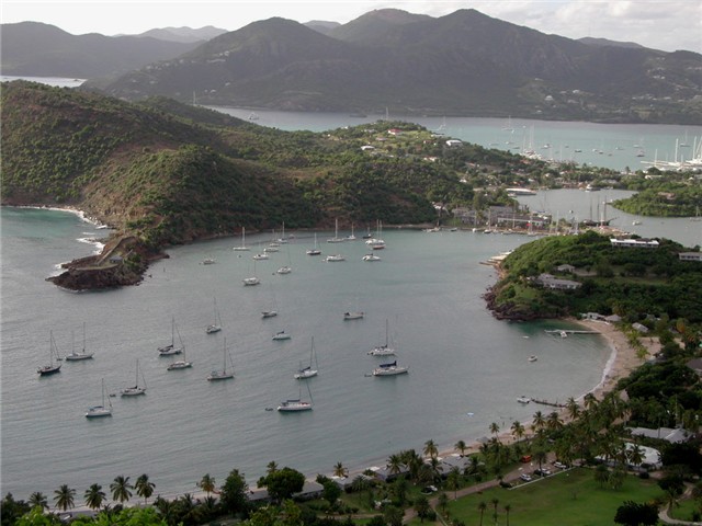
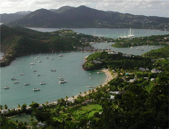
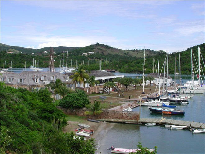
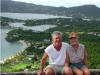
ANTIGUA (pronounced an-tee-ga) - DECEMBER 27, 2003:
Antigua is quite visible with it's mountainous terrain
as we leave Guadeloupe. After a pleasant 7-hour sail north we arrive
in English Harbour on the south coast of Antigua. This area is
rich in history. English Harbour was developed into Britain's main
naval base in the eastern Caribbean in the 1700's, as it tried to protect
the valuable cargoes of sugar and other products being sent from the West
Indies to Europe. In addition, it was a hurricane refuge and hidden
from passing ships, and was developed as the Naval Dockyard used for
careening (in deep water pulling a ship over on it's side toward shore to
work on the bottom), thus allowing Britain to keep a squadron of ships
continually in the Caribbean thereby maintaining naval superiority.
Admiral Lord Nelson was stationed here after his klutzy predecessor blinded
himself in one eye while chasing a cockroach with a fork.
Antigua is a former British colony, and accordingly, the
Brits love to come here - with their mega-yachts. We haven't seen such
a vast collection of both sail and power mega-yachts since we vacationed in
Monte Carlo and the French Riviera. Incidentally, we have noticed
while cruising that the larger, nice cruising sailboats usually are from the
U.K. - and they always fly obscenely oversized ensign flags off the stern.
Easy to spot a Brit from afar.
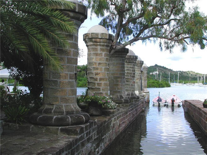
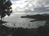
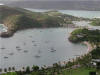
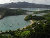
English Harbour is a pretty harbour that winds back in
between high hills, affording several scenic anchoring spots. There's
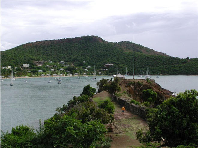
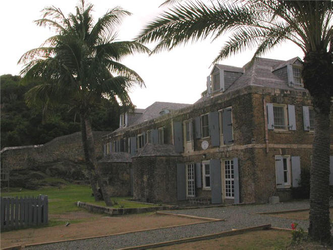
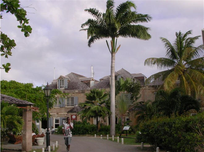
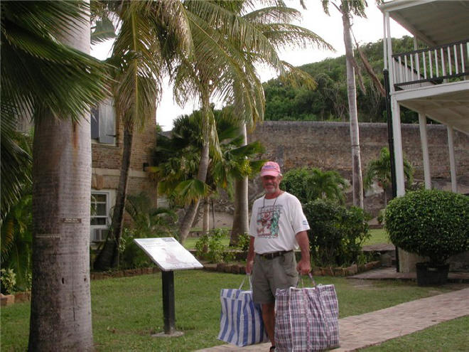
lots of places for walking and hiking. Nelson's Dockyard (late 1700's)
has been fully and faithfully restored. The original buildings are
used for everything from sail lofts, charter boat operators, marine
services, and of course restaurants, pubs, shops, etc.. Fort Berkeley
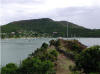
is just across from us on the point looking south towards Guadeloupe.
Shirley Heights Lookout is high above us - we hiked up the hill for the
Sunday night BBQ and steel pan band, but the highlight was the unbelievable
view of Antigua. Falmouth Harbour, which is larger and not as
picturesque, almost joins English harbour and is a five minute walk.
And, of course, another great beach just in front of us. We take the
local bus to St. John's, the largest city, on the west coast (cruise ships
come in here).
Everything is very expensive in Antigua (including the
customs / immigration / cruising permit / harbour fees), even when you get
away from the "resort" areas. More so than any
place we have been so far, so we did little more than have a pizza and beer
out here. (A major shock after Margarita!) What we found interesting is
that items are priced in US$ or EC (Eastern Caribbean currency), not in
British pounds or Euros. Often times we had to ask what currency prices
where in, as it was not obvious. We saw a menu that had appetizers priced
in EC and everything else priced in US$. Go figure.
We celebrated New Years in English Harbour. On Old
Year's Day (that's what they call December 31st) there was a sailing regatta
(pursuit race) with about 35 boats - several over 80 ft. with the largest
being 140 ft. (owned by H.E.B. grocery store family) - with the finish
just off Fort Berkeley.
2004
To take a rest from the rich, we moved around the corner
to Indian Creek, a small, totally deserted hurricane hole at the end
of an "S". We were the only one here (and one unoccupied boat), visually surrounded completely
by cactusy hills and goats. Eric Clapton owns the sprawling "house"
atop sheer cliffs out on the point - bet he could put up a hundred of his
closest friends here for the weekend. We hiked up to the property
gate, but he wasn't home. We then hiked over to the east coast to view
another anchorage - pretty but not conducive in the winter winds.
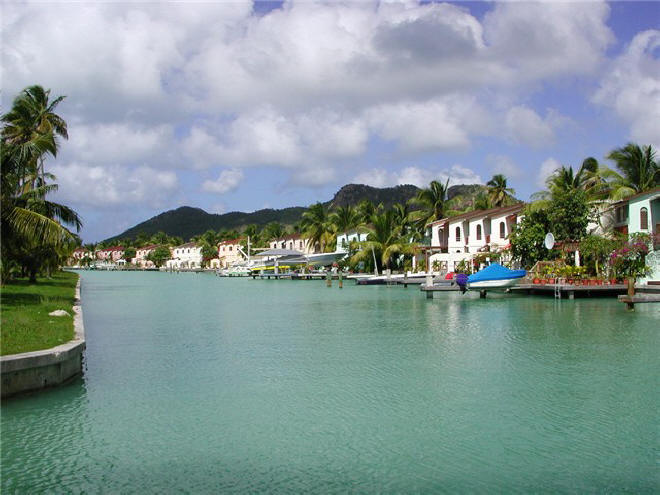
Next we moved over to the west coast, which for the most
part is very shallow, with reefs and light turquoise waters. We
anchored outside at Jolly Harbour for a night, then took a mooring
when it got real rolly (first mooring we've picked up since July) as it's a
long (and wet) dinghy ride from the outside. This is a big
resort/casino area, with little townhouses lining canals with respective
boats parked out front.
We continue north to Five Islands Harbour, a large
bay with nothing there . . . except voracious flies . . . so we make it a lunch
stop only. We figured out there was a large garbage dump somewhere out
of sight. On to Deep Bay, a charming anchorage with a long
sandy beach, a large resort set back nicely at one end, and big houses
perched on the cliff. Again good shelling! I think this is the water-toy capital of
Antigua, but at least they go away at dark. Only a couple of boats
anchored overnight. A hike up to Fort Barrington
gave a commanding view all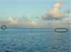 around. From ARGO,
we could see 2 sunken ships:
A
3-masted iron barque from 1905 barely visible in the middle of this bay; and
two miles out a freighter wrecked on a reef in 1745 with another large vessel wrecked
on top of it sitting high out of the water. Truly comforting.
around. From ARGO,
we could see 2 sunken ships:
A
3-masted iron barque from 1905 barely visible in the middle of this bay; and
two miles out a freighter wrecked on a reef in 1745 with another large vessel wrecked
on top of it sitting high out of the water. Truly comforting.
We left Antigua without checking out the northern coast,
which is suppose to be quite beautiful, but filled with lots of reefs,
shoals and shallows. With typical northern winter winds, this is not a
place to be explored in January. We sailed 30 miles north to Barbuda
. . .
|
NELSON'S DOCKYARD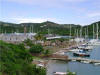 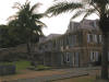 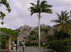
Restored buildings
Old boathouse
JOLLY HARBOUR
"Just take the ___ picture."
DEEP BAY
ARGO
St. John's (capital and cruise ship stop) viewed from Fort
Laundry day |
|
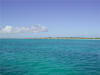
Flat island with pristine beaches and nobody around
|
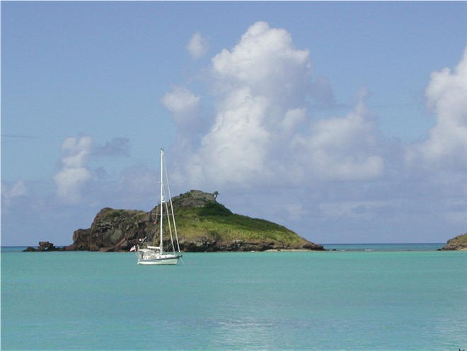
BARBUDA - JANUARY 14, 2004: We arrived
at Cocoa Point on the south coast of Barbuda midday with the sun overhead - ideal, as
Barbuda is virtually surrounded by treacherous reefs. (In order to
"read" the water, i.e., see underwater reefs, coral heads and shallows, the
sun must be either behind you or straight overhead.) Many a boat has
been lost here.
Barbuda, like Antigua, use to be a British colony.
Unlike Antigua, it is a very flat island (highest point is only 125 ft.
above sea level) only visible when within a few miles of it, has a mere
1,600 inhabitants, only one town which is not easily accessible to cruisers,
and does not encourage tourism in the least. (In recent past, "service providers" were
encouraged to "dress up" for visitors, but that bombed.) In the 1600's,
one family lived on the island and imported slaves (now the Barbudans) and
leased the island from England for one fat sheep a year. The land is
now owned communally and any one born here can pick out land he wants to
live on and develop.
There's nothing here - except some of the finest beaches
anywhere in the Caribbean. You bring whatever you need when you come
here because you won't find it here. There is virtually no tourist
trade and we saw some small, but most likely pricey, beach villas that are
probably used by the rich and famous to escape from it all. We only
saw a hand full of people. "Why?", you ask. Barbuda is on the way to
nowhere - if you look at a map of the island chain, you'll see where it kind
of sticks out to the east on its own - and being east, is typically
harder to get to unless you're coming from the south, i.e., from Antigua.
Unfortunately, we were able to stay only 1 1/2 days, as
very large northerly swells were expected to move down the islands.
Barbuda, being so low and without bays, has virtually no protection in bad weather or swells.
We managed to dinghy to shore but didn't take the camera as the surge was
quite rough and didn't want to risk dunking it. So don't have any pictures of
this spectacular beach - miles of pink sand, scalloped beach line, totally clean
(no seaweed, grass, flotsam), and crashing surf. Launching our dinghy
from shore was tricky but we did it - only filled it up quarter way with water!
We did an 80-mile overnight motor sail (light winds) to
Sint Maarten
[page 7] . . .
|
|
|
|
|
|
[ Back ] [ Home ] [ Up ] [ Next ]
[ Top of page ]
|