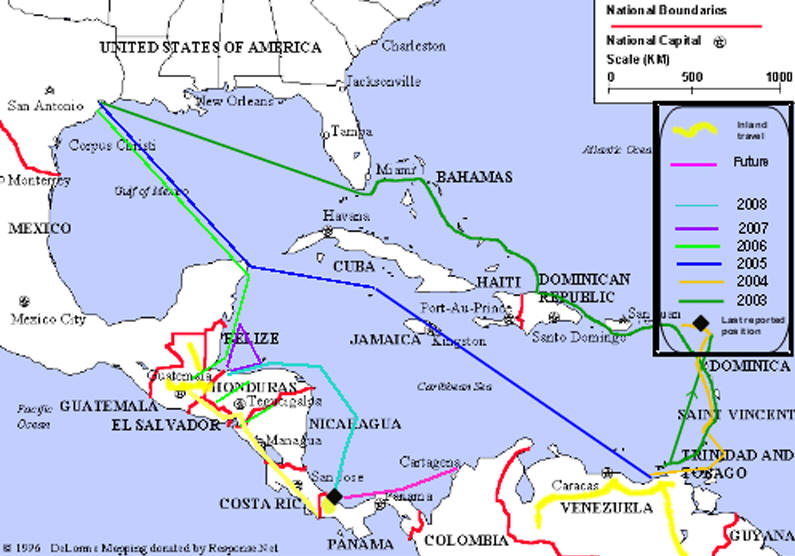
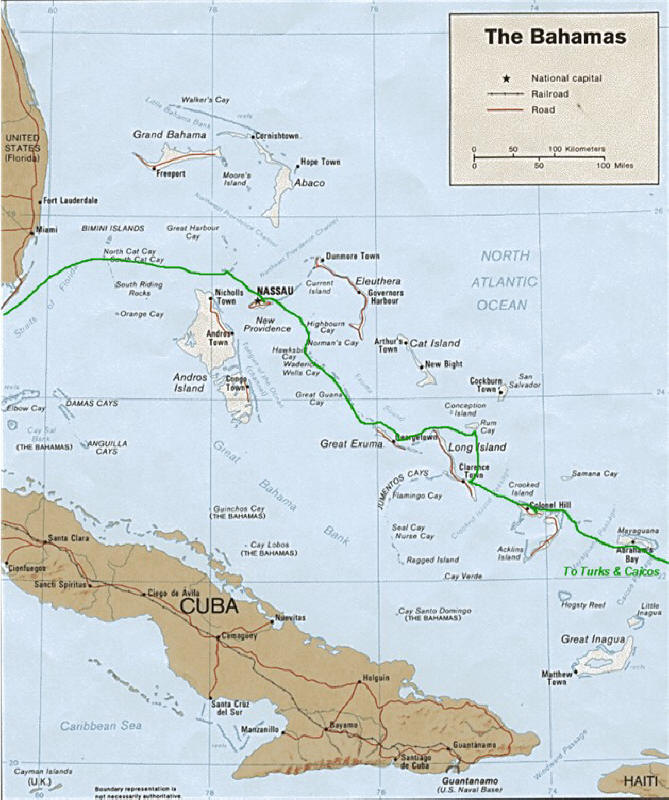
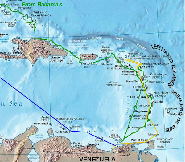
Colored lines indicate our route
by sea, and yellow indicates our inland travels.
Scroll down to see
detailed maps. These maps are updated periodically along with
Pictures/Journal.
OVERVIEW OF ARGO'S ROUTE
Bahamas
Eastern Caribbean &
Venezuela coast
Click to enlarge
This link shows a map of the Caribbean.
It allows you to open a map for a specific island by clicking on that
island. We apologize for the advertisements on this site, but think
some of you will find these maps of interest.